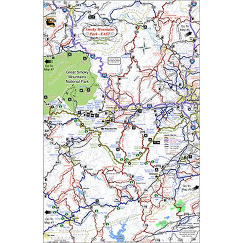
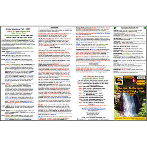
On Map #6:
- Full color map on front, detailed directions and ride descriptions on back
- Best rides boldly highlighted in red
- Good connecting roads highlighted in blue
- Most scenic section of the Blue Ridge Parkway
- Closest gas station to each Parkway exit, including remotely located stations
- Points of interest: Scenic points, waterfalls, motorcycle-friendly stops, etc.
- Easy to read color-coded road labels to aid navigation
- Mileage between road segments shown
- Overlaps and connects with adjacent maps
Cities and Towns:
North Carolina: Asheville, Weaverville, Fletcher, Mars Hill, Mountain Home, Laurel Park, Brevard, Hendersonville, Lake Toxaway, Etowah, Bent Creek, Leicester, Marshall, Hot Springs, Trust, Fines Creek, Junaluska, Clyde, Canton, Waynesville, Maggie Valley, Balsam Grove, Sylva, Cherokee, Cullowhee, Tuckaseegee, Sapphire, Highlands, Hillsboro
Tennessee: Del Rio, Newport
South Carolina: Slater-Marietta
Georgia: Sky Valley
Features:
- Handy, easy-to-use, accessible pocket-size - 4 1/4" x 5 1/2" and 11" x 17" unfolded
- Easy-folding
Map Description:
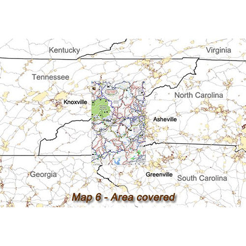
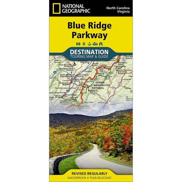
If you get just one pocket map, get this one. This is one of the most popular motorcycle vacation areas in North America. The good roads seem endless, the scenery is thrilling, great places to stay abound. The final and highest section of the Blue Ridge Parkway is the best of it. The roads which intersect the parkway are outstanding. Map 6 covers this first half of the "Land of the Waterfalls" (Map 7 covers the other half). The mountains here are tall, broad, and the extensive riding through them is spectacular.
This map covers the are between the eastern half of Great Smoky Mountains National Park and the city of Asheville, NC. It extends north into Tennessee and south into South Carolina. The Blue Ridge Parkway wraps around the city of Asheville, hits its lowest point in North Carolina at the French Broad River, then climbs steadily to reach its highest point after a 20-mile stretch more than a mile high. The last section of the park road makes a gradual descent from Soco Gap (Maggie Valley) to finally connect to Great Smoky Mountains National Park just outside Cherokee, NC.
This map is the first of three which detail the Smoky Mountain area. It covers the great rides found near the eastern section of Great Smoky Mountains National Park.