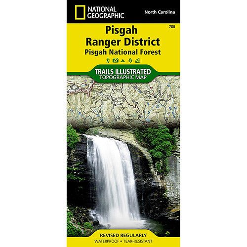
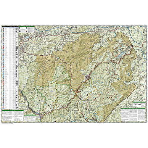
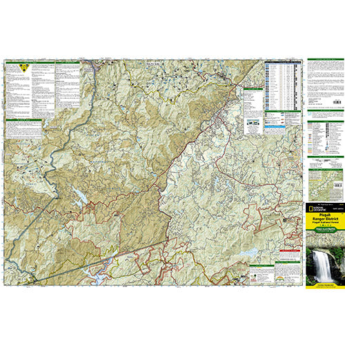
This Trails Illustrated topographic map is the most comprehensive and complete recreational map for North Carolina's Pisgah Ranger District area. The map shows all trails, campsites, and recreational features, plus valuable wilderness and Leave No Trace guidelines.
Coverage includes Pisgah National Forest; Shining Rock and Middle Prong wilderness areas; Bent Creek Research and Demonstration Forest; North Carolina Arboretum; Blue Ridge Parkway; Mountains-to-Sea Trail; Looking Glass Rock; Cold Mountain; Sliding Rock and Mount Pisgah recreation areas; Looking Glass Falls; and Cradle of Forestry in America National Historic Site.
All data is updated to reflect road closings, new trails, and campground relocation. Printed on waterproof, tear-resistant material with a plastic coating that offers supreme durability for your next outdoor adventure.
Measures Approximately 4 1/4"x 9 1/4"; folded and 25 1/2" x 37 3/4" fully opened. Scale = 1:44,450.