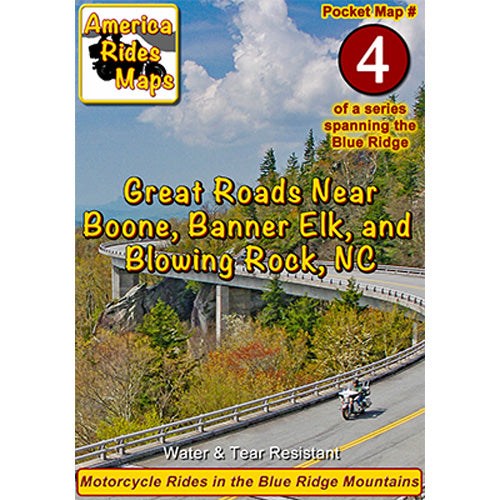
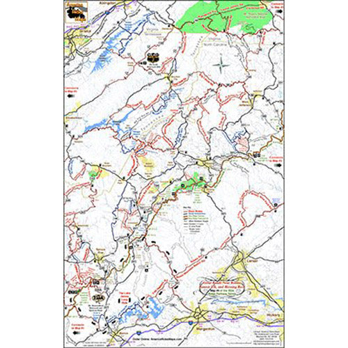
On Map #4:
- Full color map on front, detailed directions and ride descriptions on back
- 500+ miles of the best rides boldly highlighted in red
- 50+ miles of good connecting roads highlighted in blue
- 92 miles of the Blue Ridge Parkway
- Closest gas station to each Parkway exit, including remotely located stations
- Points of interest: Scenic points, waterfalls, motorcycle-friendly stops, etc.
- Easy to read color-coded road labels to aid navigation
- Mileage between road segments shown
- Overlaps and connects with adjacent maps
Cities and Towns:
Virginia: Abingdon, Damascus, Troutdale, Bristol
Tennessee: Bristol, Elizabethton, Roan Mountain, Hampton, Mountain City
North Carolina: Lenoir, Morganton, Marion, Connelleys Springs, Rutherford College, Valdese, Drexel, Boone, Banner Elk, Blowing Rock, Hickory, Nebo, Spruce Pine, Bakersville, Crossnore, Newland, Elk Park, Beech Mountain, Seven Devils, Sugar Mountain, Jefferson, West Jefferson, Lansing
Features:
- Handy, easy-to-use, accessible pocket-size - 4 1/4" x 5 1/2" and 11" x 17" unfolded
- Easy-folding
Map Description:
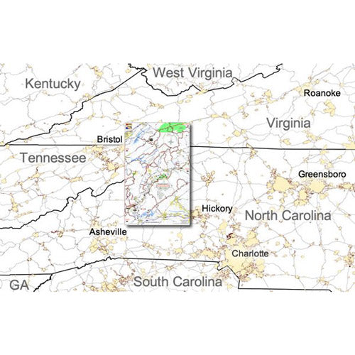
This map describes the area closest to the half-way point on the Blue Ridge Parkway including the region where Tennessee, North Carolina, and Virgina share borders. As the Blue Ridge Parkway makes its climb from Virginia into North Carolina, the parkway leaves the Smoky Mountain range and enters the Black Mountains of North Carolina, the highest mountains in the east. It includes rides which touch on all three states. This map is bordered by I-40 in North Carolina in the south, and I-81 in Virginia in the northwestern corner. I-77 is not shown within the scope of this map, running north-south to the east. This area is easily accessible to the non-parkway traveler.
Because of its location at the mid-point of the Blue Ridge Parkway, this area is a popular lay over for those making the long ride. Too many riders do not take the time to explore this area of great motorcycle rides in their pursuit of reaching either end of the parkway. It's worth budgeting a little extra time to sample some of the most scenic and rewarding, not to mention challenging rides, located nearby. Rather than describe the roads individually here, I've included three great loop ride descriptions to help direct you to some of the best of them. Choose the loop based on your time, they can all be shortened or lengthened as desired and portions of them can be incorporated into your trip along the Blue Ridge Parkway.
One of the loops describes the areas adjacent to the Blue Ridge Parkway in North Carolina. The second directs you to one of the most scenic and fun classic rides in North Carolina and Tennessee. The third loop leads you to some of the most exciting, beautiful, and technically challenging roads encompassing the junction of all three states, a ride that makes the infamous Tail of the Dragon at Deals Gap, NC., seem like just a short hop in the woods. If you have time to explore, don't miss some of the great roads found near the Mt. Rogers National Recreation area.