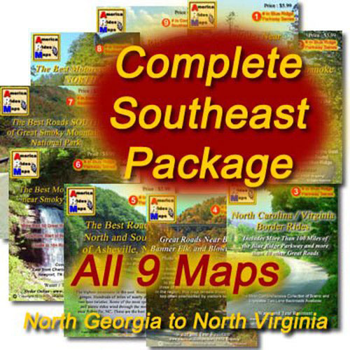
Maps


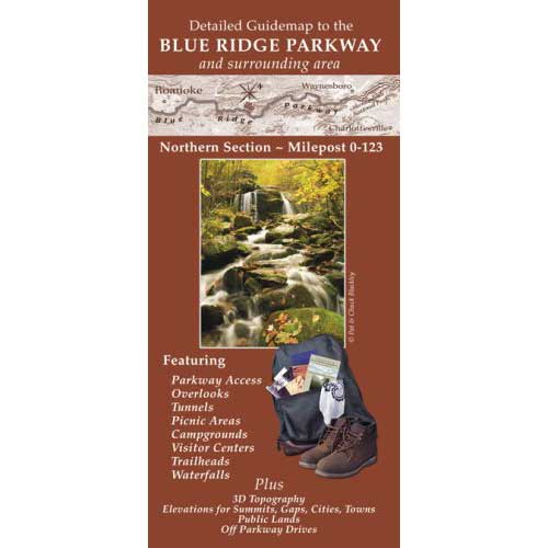
Sale price
$39.95
Regular price
$47.94
Sale

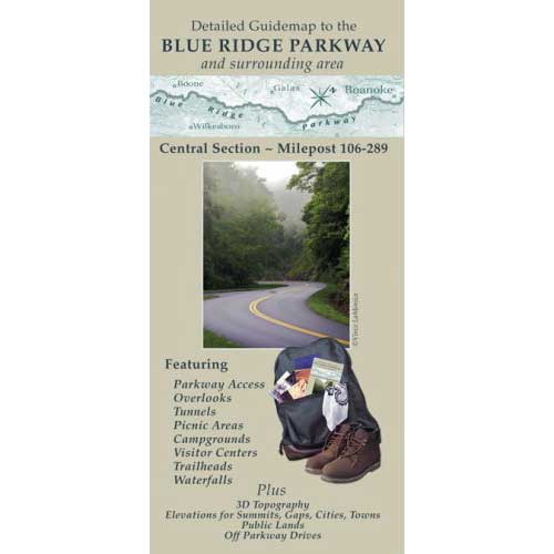


Sale price
$59.99
Regular price
$71.91
Sale


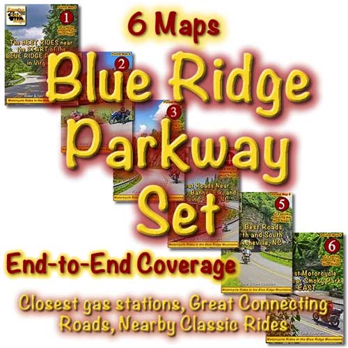
Sale price
$19.99
Regular price
$23.97
Sale


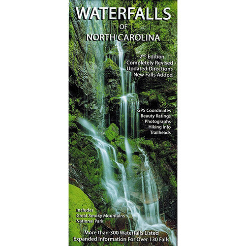
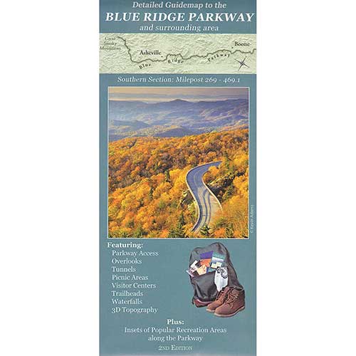
Regular price
$7.99


Regular price
$7.99